Navigation - Methods
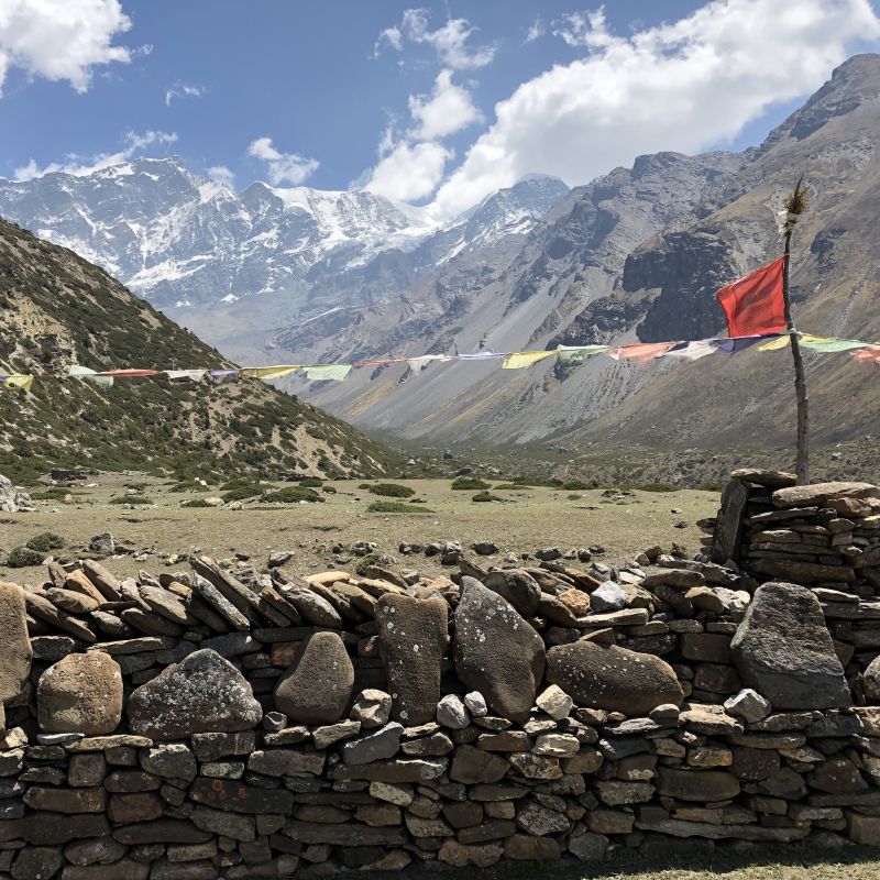
The navigation methods and resources we'll be using on the trek.

The navigation methods and resources we'll be using on the trek.
Resupply locations and food tracking calculations.
The intended itinerary for the trek.

The maps, guide books and navigation sources available for the GHT.

A brief overview of the 1,300km trail we'll be hiking this summer.
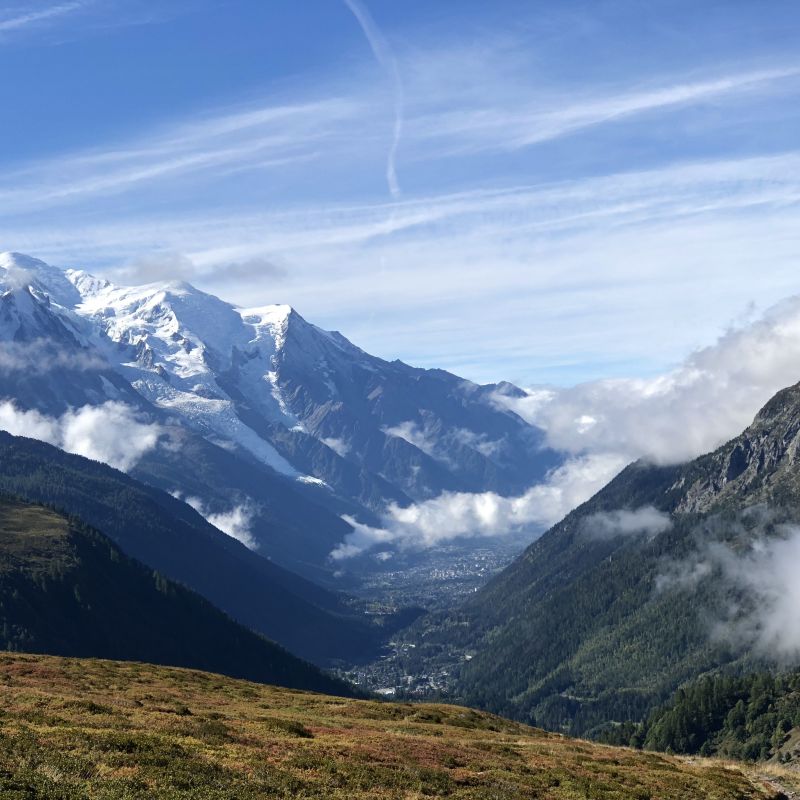
Our hike concludes, back at Champex.
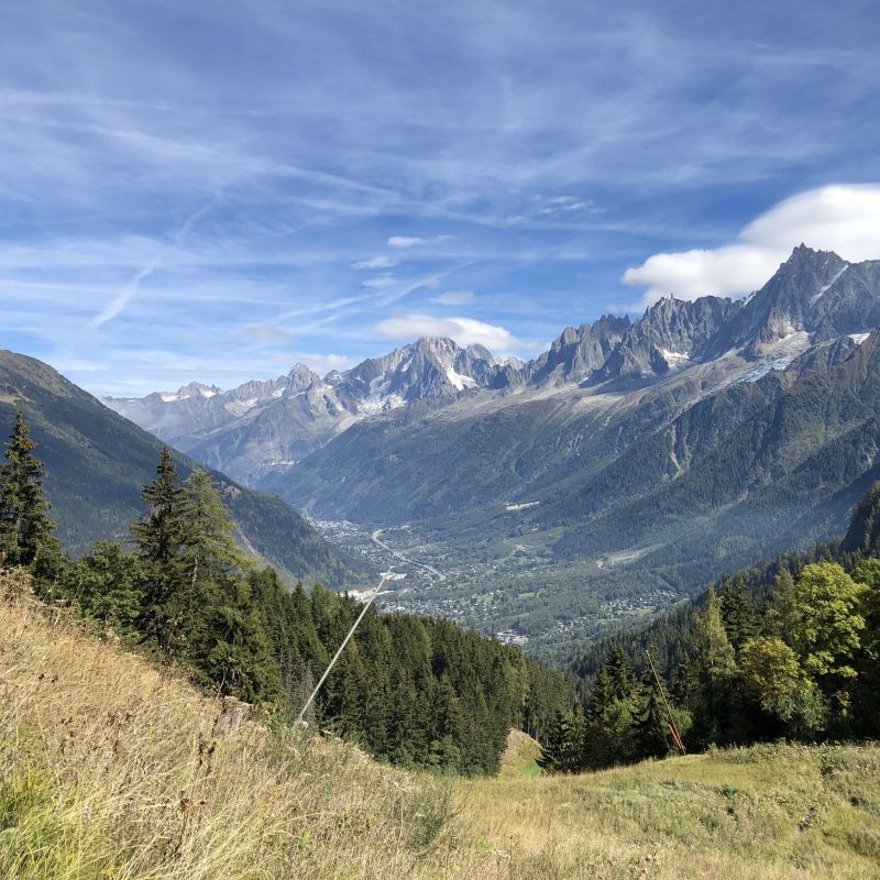
We continue through Les Houches, Chamonix and on to Argentiere.

Over the Col de la Seigne and into France towards Les Contamines.

Over the pass to Italy and down the valley to Courmayeur.

Onwards down to La Chable and Champex.

Over the Pas de Chèvres, Mont Blanc de Cheilon, La Cabane des Dix

Lac de Moiry and the Cabane du Moiry